Dr John Peaty - Survey and Mapping on the Western Front.
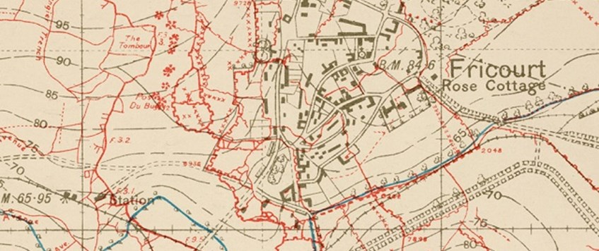
The First World War saw a massive, unprecedented mapping and survey effort made in support of the British army, and especially of the British Expeditionary Force (BEF) on the Western Front. Many new and revolutionary survey and mapping methods and techniques were developed, which together greatly enhanced the effectiveness of the BEF. A new era opened with aerial observation, aerial photography and photographic interpretation. Innovations included: the making of maps from air photos; the provision of air charts and of large-scale maps; the use of an alphanumeric reference system, coloured overprints, sound-ranging and flash-spotting; the making of artillery boards, of panoramas, of photo mosaics and of relief models.


