


Over 150 maps of the Salonika front have been supplied by kind permission of the Salonika Campaign Society for inclusion in TrenchMapper.
The collection includes French as well as British maps (plus one Serbian map) and covers the entire time-span of the campaign and all the major battles. As well as trench maps there are situation maps, maps showing the wider Balkans area at the time of the Great War and maps of Salonika town itself (Thessaloniki).
Just four example maps are shown below
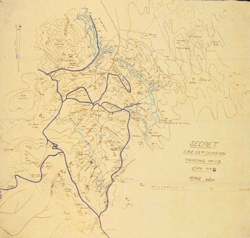
The Birdcage (scs_014)
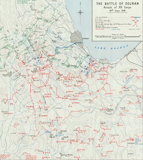
The Battle of Dojran (scs_099)
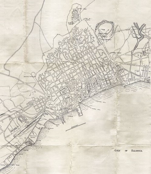
Salonika town (Thessaloniki) scs_121
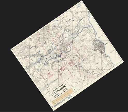
The Couronne (scs_022)
About the Campaign
The campaign featured an Allied coalition of France, Great Britain, Greece, Italy, Russia, and Serbia. The British Salonika Force (BSF) peaked at around 220,000 men at its strongest.
Allied forces landed at Salonika to aid Serbia, prevent the Central Powers from consolidating their control, and establish a fortified front line. The front line was largely static for much of the conflict, which was fought across a difficult terrain of mountains, plains, and valleys.
Soldiers faced extreme weather conditions, including blizzards, heavy rain, and hail storms. The campaign was also notorious for disease, with malaria being a major cause of suffering and hospital admissions. The BSF suffered 481,000 non-battle casualties, with 162,000 attributed to malaria. Troops in the BSF often experienced extreme boredom due to the monotonous and repetitive nature of trench life and the lack of major action for long periods. This was a significant factor affecting morale throughout the campaign.
The major Allied offensive in September 1918 broke the Central Powers' lines and led to an armistice with Bulgaria on 30 September 1918, effectively ending the campaign.