


TrenchMapper is a free application that displays maps and aerial photographs of the Great War. These include:-
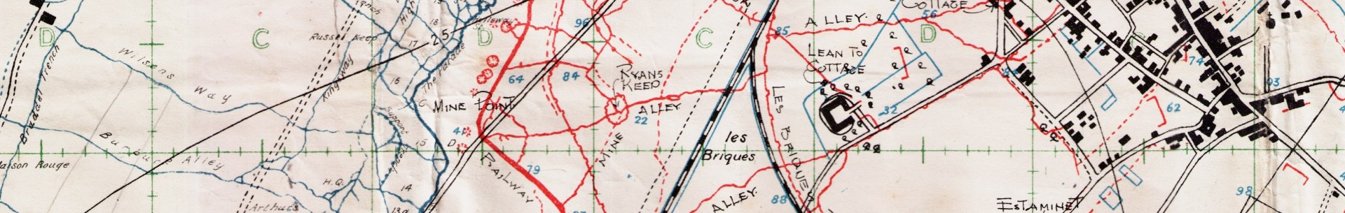
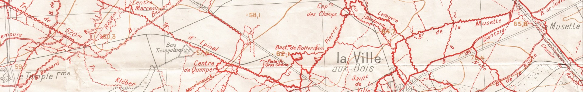
Trench maps
Official history maps
Hand drawn sketches
Artillery and barrage maps
Topographical maps
Although concentrating mainly on the Western Front there is also extensive coverage of Gallipoli and some other fronts including maps of the UK.
Public access is zoom limited whilst members of the Western Front Association have unlimited access. Maps can be downloaded complete.
To use TrenchMapper just click here.
WFA members need to login via their member's page.
Key points
- The Great War maps are georeferenced to modern maps and can be faded out to see the modern places underneath
- The maps link to Google Street View directly from Great War maps so an eye level appreciation. This view extends inside buildings and underground where available
- The site will convert trench map references to latitude & longitude
- There is a comprehensive searchable list of trench and other place names allowing a user to find points of interest by name.
- Other tools measure distance and bearing from a point in a similar manner required for artillery
- Maps have been sourced from the Imperial War Museum, the Library of Congress and various other map repositories.
- The available maps were drawn by cartographers in Britain, Australia, New Zealand, Germany, France, Belgium, Turkey, the USA and Italy.
- TrenchMapper is already by far the largest and most comprehensive Great War map resource of the internet.
The project built on the scanning work completed for the Mapping the Front project and now presents several thousand Great War maps georeferenced to modern maps, a task greatly helped by an array of volunteers trained by the core team. Currently the main focus is the Western Front but already several hundred maps of Gallipoli are online and even some of the UK. Users can download maps for use in their research.
It is not a static project, the team have many ideas on how it may be improved and extended. It is hoped to show LiDAR as a map layer, this will show slight variations in ground level that reveal features not visible by other means. The site can already display vector overlays like the Messines mines but the range and type of these can be extended e.g. showing position lines, key points and possibly animated sequences such as the progress of battles. Other new features should include the user's ability to upload their own map overlays such as lines and points.
Currently TrenchMapper does not support phones but it does have the ability to use tablets, laptops etc. to track locations using GPS. This could be linked to user's own uploaded data to display battlefield information on old or new maps, especially useful when visiting those locations. Other ideas to extend the project include 3D visualisation where appropriate and the addition of detailed contextual information on a map or battle.
Above: The remains of Passchendaele in 1917